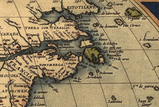
The Midcoast region of Maine is jagged and chaotic, with its rocky points resembling fingers plunging into the Atlantic Ocean. Nowhere is this more evident than at Pemaquid Point near Bristol, Maine. The Wabanaki had a name for this place, Pemi-Keag, which translates into “Extended or lengthened point.”
By the mid-1610s, West Country fishermen working for Sir Francis Popham were frequent visitors to the Pemaquid region and were actively trading with the Etchemin. After the Great Dying, there were no longer Etchemin encampments on the Pemaquid Peninsula, but groups of them traveled to the region from their remaining seasonal villages in the Kennebunk and Penobscot River drainages.
Before the devastating plagues, the Pemaquid area had long played a prominent role in Etchemin history. As Neill De Paoli (2001, p.228) describes in his dissertation on early Pemaquid: “Archaeological evidence indicates that Native Americans fished, hunted, and traded on the Pemaquid mainland and offshore islands such as Monhegan for over four thousand years. Furthermore, the Pemaquid peninsula remained the site of an Indian canoe portage or carry while Anglo-Indian intercourse had roots that reached back to the first decade of the 17th century. Pemaquidians parlayed the plantation’s geographic advantages and the Maine’s Indians’ familiarity with the area into one of provincial Maine’s primary Anglo-Indian trade centers.”
One of the most active early year-round fishing communities was established on the eastern shore of the Pemaquid Peninsula at New Harbor by John Brown. As Williamson (1883, p. 66) reports:”In Levett’s explorations, when he reached Cape Newaggen, the locals told him that Pemaquid had been “granted” to Brown, who had obtained a patent, dated June 1, 1621, from the Plymouth Council, “allowing him the privilege of settling at any place he and his associates might choose, not however within ten miles of any other settlement.” He then obtained the first deed of a tract of land from the Wabanaki of Maine in July 1623
Grant of Aldsworth and Elbridge
On February 20, 1631, two Bristol merchants, Robert Aldsworth and Gyles Elbridge were awarded the last grant by the Council of New England, the Pemaquid Patent. It extended from the sea between Muscongus and Damariscotta rivers, so far north as to encompass 12,000 acres, plus 100 acres for every settler they brought over from England. It included the Damariscove Islands and all others within nine leagues of the shore. The proprietary grantees and their associates were to establish a civil government and were given “the right to hunt, fish, fowl, and trade with the natives in any part of New England.”
Aldworth and Giles desired the patent to expand their growing mercantile empire in New England. They had already bought Monhegan from Abraham Jennings in 1626 and now sought to enlarge these interests by establishing a mainland operation. They were undoubtedly encouraged to pursue this opportunity by Abraham Shurt, whom they had sent as their agent to purchase Monhegan and who was now a resident of Pemaquid. Also, the issuance of the Muscongus grant the preceding year likely pushed Aldworth and Elbridge to act or be left out.
This patent covered almost precisely the same ground John Brown had received in 1625 in his deed from the local Wabanaki, and by the time Aldsworth and Elbridge received their patent, there was already a year-round trading station at Pemaquid supporting about 80 people.
Golden Age of Pemaquid
Pemaquid steadily grew under the watchful eyes of its manager, Abraham Shurt. In the 1630s Pemaquid became the center of commercial activity on the whole Maine coast. English, French, and Wabanaki traders came together there, and its merchants sent fish, peltry, ship masts, barrel staves, livestock, and crops to the ports of England. Its domestic contacts included settlements scattered along French Acadia, Maine, New Hampshire, and Massachusetts Bay coasts.
One of the first additions was a series of wooden wharves to handle the upsurge in waterborne activity on the lower reaches of the Pemaquid mainland. The inhabitants constructed dwellings, storehouses, and miscellaneous outbuildings a short distance above the Pemaquid River and New Harbor shores. (De Paoli, 2001, p. 67)
The Pemaquid Plantation boomed throughout the 1630s. The community grew to encompass 150 to 200 people and served as the frontier on the northern fringe of English territory. It remained strong until the English Civil War began in 1642 and Eldridge died in 1643, with his finances in disarray. His next two heirs, Robert and John died a few years after him, and the third, Thomas, moved to Pemaquid Plantation, “with little social standing and limited financial means” (DePaoli, 2001, p. 179).
Abraham Shurt stopped managing the Plantation around 1648 and moved to Charlestown, Massachusetts. Thomas Elbridge hired Francis Knight to manage the property from 1647 to 1650, when he began selling off his properties. He sold Monhegan and Damariscove to Richard Russell of Charlestown in 1650 and, in 1657, the whole patent to Massachusetts Bay merchant Nicholas Davison.
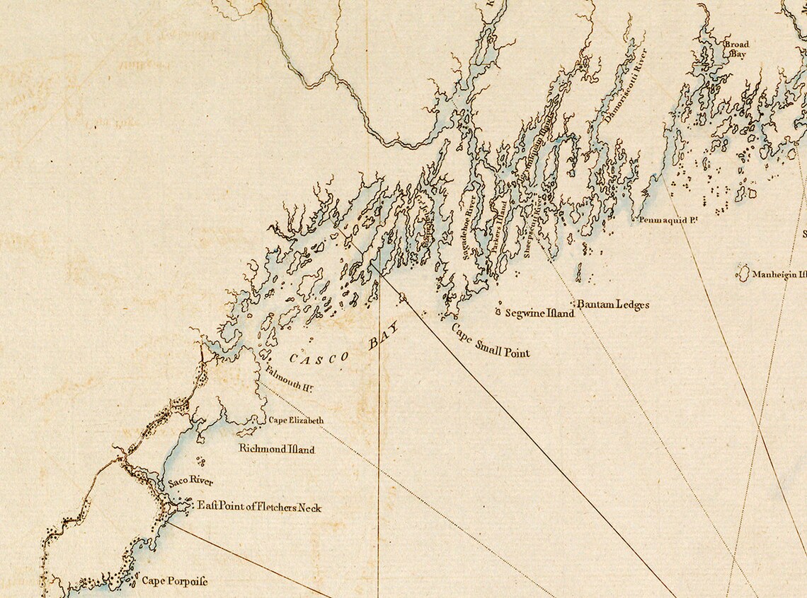
Illustration: J.F.W. Barres’ 1776 Nautical map of New England.
Bibliography
Burrage, H. S. (1914). The beginnings of colonial Maine 1602-1658. Marks Printing House.
DePaoli, N. (1994) Beaver, blankets, liquor, and politics. Pemaquid’s Fur Trade, 1614-1760. Maine History 33 (3): 166-201. https://digitalcommons.library.umaine.edu/mainehistoryjournal/vol33/iss3/2
Parker, A. D. (1925) A history of Pemaquid with sketches of Monhegan, Popham and Castine. MacDonald & Evans: Boston
Williamston, W. D. (1889) The history of the state of Maine: From its first discovery in A.D. 1602 to the separation, A.D. 1820, exclusive. Glazers, Masters, and Smith.
